
Geolocation accompanies our lifestyle by providing us with real-time location of the streets we travel on or the places we want to go to. It provides us with up-to-date information thanks to the network of people who collaborate in updating it and also due to technological advances in the Geographic Information System, helping us to meet our objectives by informing us, in a detailed and up-to-date manner, about the state of the weather, the roads and the mobility recommendations that are most appropriate to our ways of acting, while ensuring that we live in the space we inhabit.
Geographic Information Systems (GIS) allow us to locate ourselves on the map and interact with it according to our preferences, searches and usual paths. They have the ability to reveal deep information, often built thanks to the participation of multiple people who contribute to updating the information and allow us to discover new relationships, trends and opportunities when recommending or giving opinions. In topics related to our health, for example, the virtual magazine specialized in biomedicine points out medigraphic that:
“They have been developed for more than 20 years and applied in various branches of science. In the public health sector, particularly in Epidemiology, GIS offers multiple opportunities, while providing a spatial perspective of diseases, they constitute a powerful tool to facilitate the processes of information analysis and decision-making in health services.”
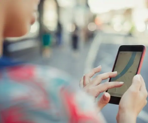
In the same way, we can gather information about those sectors that represent our daily lives: commercial information, location of service offices or to meet another person; etc. We can know the weather conditions, alternative routes and traffic conditions at the exact moment. Before, we left home to run errands without prior knowledge of what we were going to find; but today Geographic Information Systems, through digital applications on our smartphones, help us plan and prepare more accurately.
To make all this happen, there are telecommunications companies that are currently able to pinpoint the places where, as a result of climate change, we are more prone to extreme events. With this type of information, more resilient infrastructures can be built with the capacity to locate emergency teams. We can also identify spatial distribution patterns in order to address challenges related to the equitable management of resources (economic, human, natural, etc.) and observe which are the places where the greatest benefits are generated. Through the use of maps, efforts are focused on finding community-wide solutions and optimizing the use of limited resources.
These geospatial tools have proven very useful and are increasingly common in people's daily actions. According to the Inter-American Development Bank (BID) “Geographic Information Systems (GIS) are a support for information management and an excellent means for the visualization and spatial representation of data. Therefore, they are a strategic instrument for the management and planning of a territory.”
Observing our world and the space through which we move allows us to act with greater confidence and autonomy in a space that we are able to know more and more precisely, thanks to technological development and the social sharing of relevant information. SURA We can also be informed about our geography and the state of the climate through our scientific area. Geosciences, our booklet on habitat and technological tools based on Geographic Information Systems.